
May 12, 2024
Throughout the course of our journey we will ascend nearly 400 feet, as demonstrated in the slide below, shared in a presentation by our cruise director.

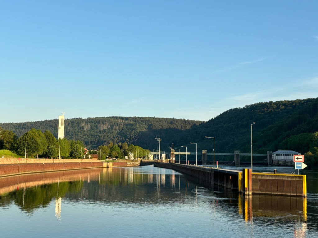
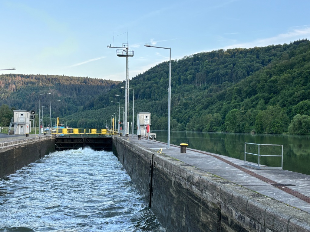
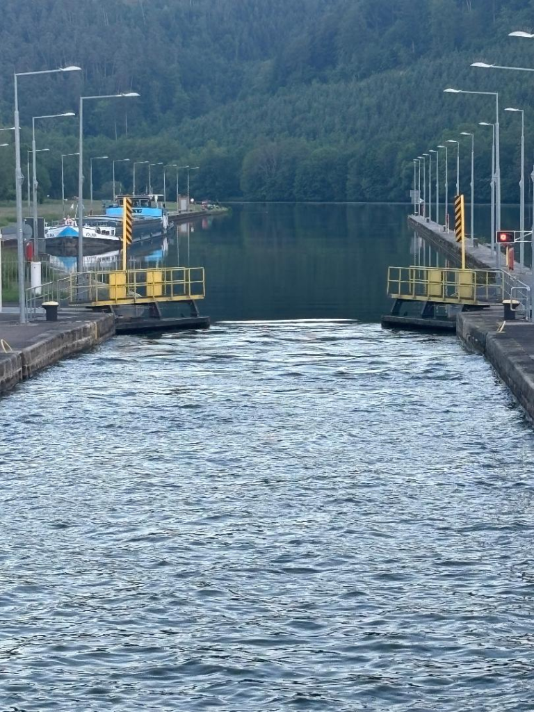
Rivers flowing so steeply downhill lose depth in places and create a rate of water flow too dangerous to navigate (engineers and maritime folks bear with me; this is my layman’s understanding of the situation). To make the rivers navigable, engineers built dams along the river. This allows for a gradual increase in altitude. Each of the triangles in the slide above represents a lock that must be navigated to get past the dam and into deeper waters.
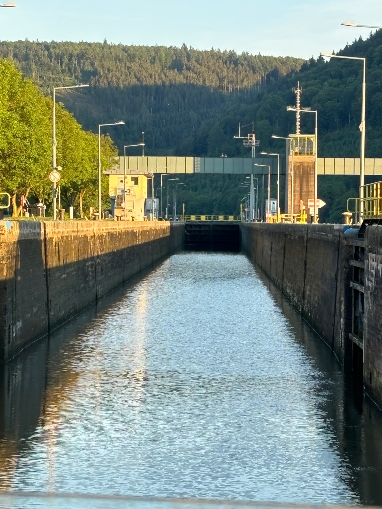
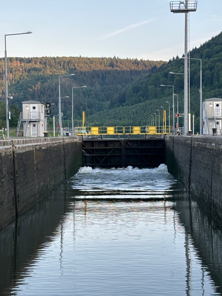
For those who may not be familiar with the process, there is a gate at either end of the lock. You enter the lock (in our case the locks are located to the left of the waterway); the gate in front of you is closed and the gate behind you closes. The lock begins to fill with water.
It’s a pretty tight fit for our long boat…
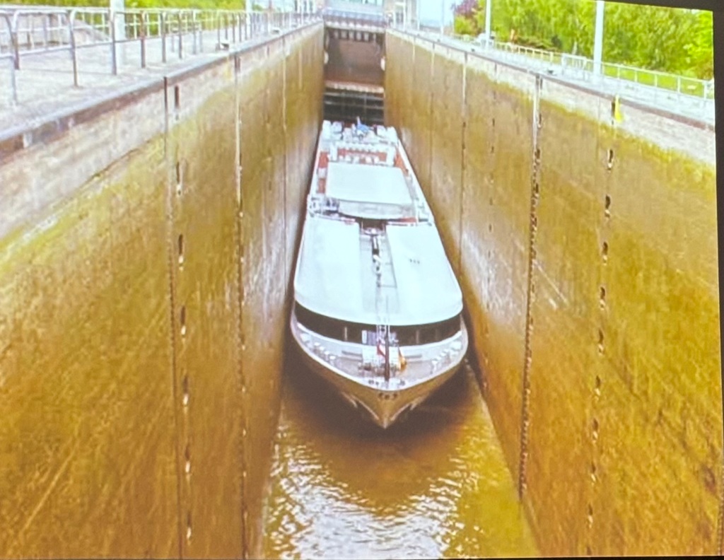
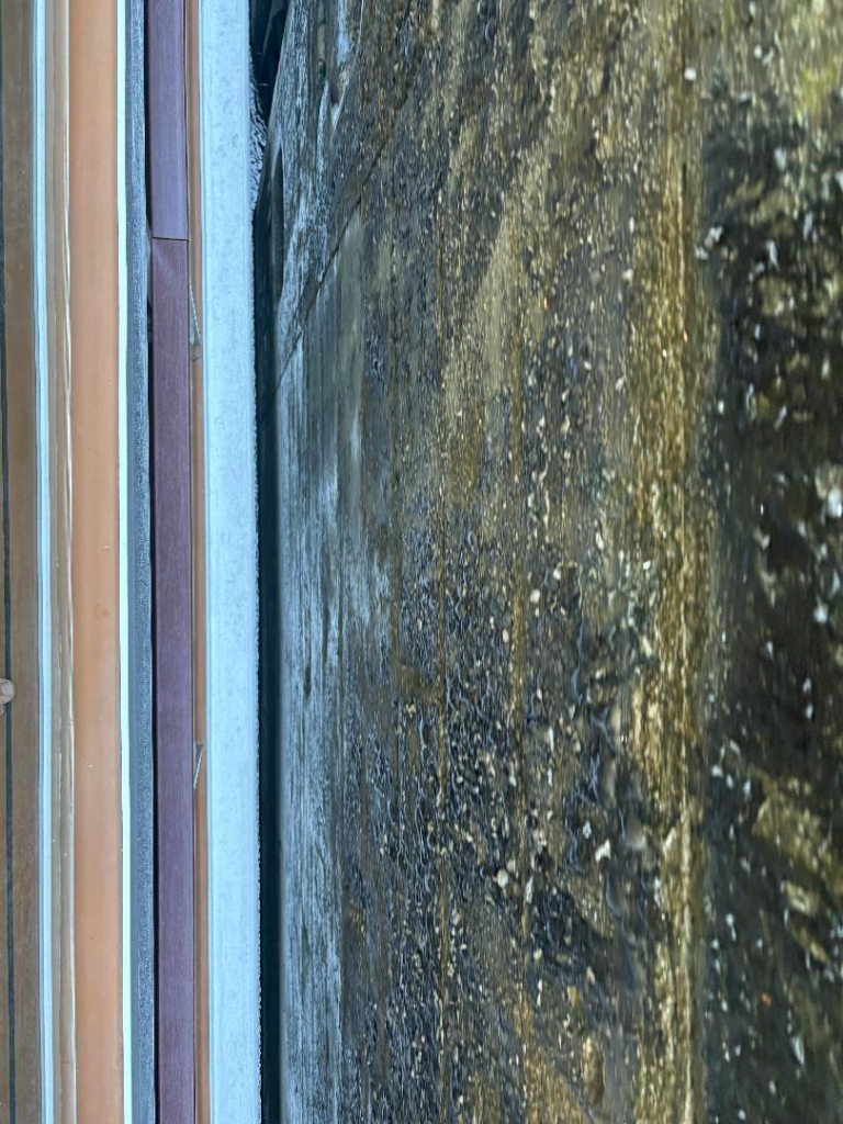
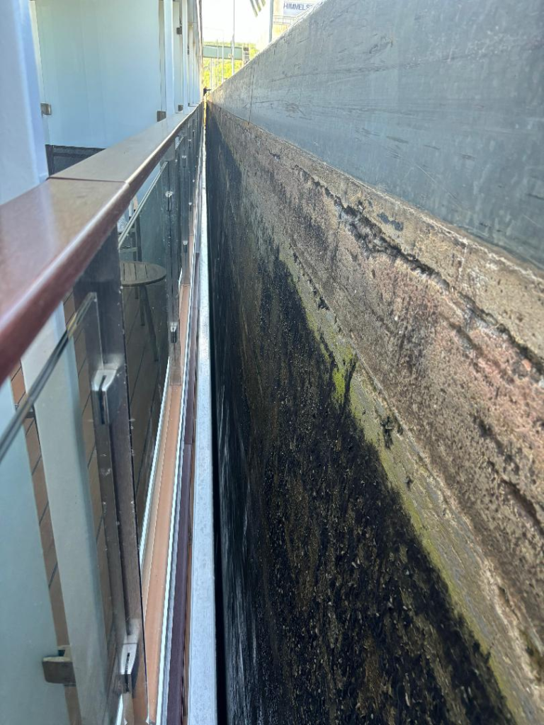

The dark stuff on the first photo above is part of the wall. In the second photo the white strip is part of the boat; there isn’t more than maybe two inches between the boat and the wall. We went through one of the locks during dinner and what you see in the picture of Ken is our view during the time it took for the lock to fill – usually less than five minutes.
When the lock is full the gates in the front are opened and we continue on our way at a higher elevation than we started!

Genius!
